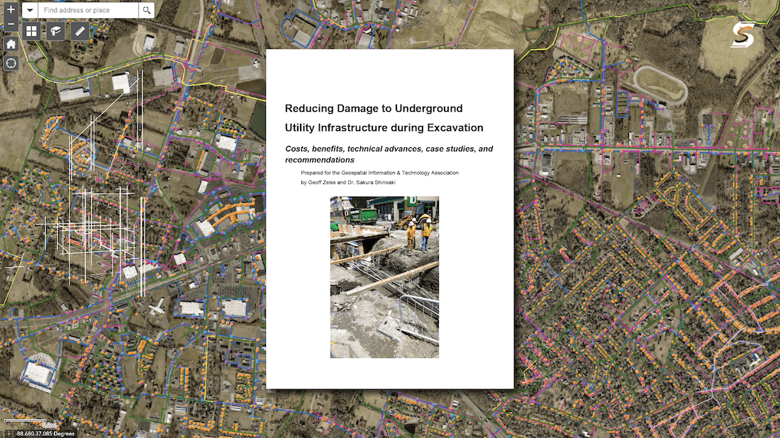
A few years ago Geoff Zeiss and Dr. Sakura Shinoaki wrote a white paper called Reducing Damage to Underground Utility Infrastructure during Excavation. In it they outlined ten main topics and concluded with 25 recommendations
25!! This was a hefty piece of research and expertise rolled into one, that sought to challenge the status quo in damage prevention and draw on international examples for inspiration. I’m going to attempt to recap the paper here and lay out their 25 recommendations, some of which are underway, all of which are still relevant. I’d urge you to read the paper for yourself via this link: White Paper
In it we find that the challenges of inaccurate and missing information regarding underground infrastructure, resulting in significant economic burdens and safety hazards, have spurred global recognition for enhanced location reliability. As multiple countries grapple with the consequences of unreliable data, comparisons between incidents in the United States and Japan starkly illustrate the need for proactive solutions. Notably, the correlation between precise information and reduced risk, economic efficiency, and infrastructure resilience highlights the imperative nature of accurate underground mapping. Despite these challenges, various international initiatives serve as models for successful programs aiming to curtail underground utility damage during construction. Through a review of these global efforts, key strategies emerge, shedding light on the necessary elements for an effective solution.
Zeiss and Shinoaki broke this down into the following 10 topics,
-
Cost of underground utility damage
Damage costs are typically categorized into direct and indirect expenses. With an average expenditure of $4,000 per instance, the CGA approximates that the direct financial impact on the U.S. economy amounts to approximately $1.5 billion. Should the proportion of total to direct cost identified by researchers at the University of Birmingham be applicable to the United States, it implies that the overall estimated impact of undisclosed or inaccurately located underground infrastructure on the U.S. economy ranges between $50 billion and $100 billion each year.
-
Examples of the benefits of accurate maps of underground infrastructure for construction projects
The paper looked at 5 examples of accurate mapping where everything from 3D mapping to GPR was used and money was saved both directly and indirectly through damage prevention. The 5 examples were: Sydney Light Rail, Alabama DOT I-20/I-59 Corridor, Expo Milano, Highway revitalization project in Cedar Falls, Iowa, and a Natural gas pipeline in Washington State. I'd encourage you to read these yourself, but here's one snippet to whet your appetite: "digital design technology based on BIM saved $521 thousand in project costs by eliminating utility conflicts"
-
ROI analyses of conducting a subsurface utility engineering (SUE) survey as part of construction projects
Once again the paper goes in depth with real world examples and they used 6 ROI studies to highlight the cost savings made possible through SUE and and good damage prevention. I really like this, because it makes it easier to justify investing in software like Utilocate - clients can see real world differences! The six studies were: 2012 Pennsylvania Department of Transportation, 2012 Region of Lombardy, Italy, 2007 Pennsylvania Department of Transportation, 2004 Ontario Sewer and Watermain Contractors Association, 1999 U.S. DOT Federal Highway Administration, 2004 American Society of Civil Engineers. And once again I'd urge you to read them yourself. Some of the figures vary but all of the studies found significant savings by investing in SUE - for example, "it was estimated that requiring SUE on road construction projects could result in a national savings of at least $1 billion per year."
-
Advances in technology
In recent times, there has been a notable surge in innovation within the realm of technology aimed at detecting underground infrastructure. Both startups and established companies, including Leica Geosystems and Bentley, have contributed to this accelerated progress. Key advancements involve improvements in Ground Penetrating Radar (GPR) and the evolution of inertial locating and acoustic surveying technologies like FiberSense, enhancing the capabilities of commercially available remote sensing tools for underground infrastructure detection. Zeiss and Shinoaki also wrote about using mixed augmented reality and creating centimeter accurate as-builts from video captured with a smartphone. A lot of this stuff is more suited to SUE and private locates but every locator has a smart phone so I thought that was a real tangible advance
-
Developments in Standards
Most of us here are familiar with ASCE 38/22 and its forbearer 38/02. Zeiss and Shinoaki were writing before 2022 and so 75/22 hadn't come into being yet. There are lots more standards though that are relevant to damage prevention from all around the world and within North America - like the SUE quality levels. The British PAS 128 system is one such standard and it's pretty compatible with how we do things here. In addition the Heathrow specific guidelines are worth looking into, because they have quite an impact on the 25 recommendations below.
-
Statistical basis for assessing impact of underground utility damage
The paper mentions statistics from all around the world but I'm just going to highlight North America here for the sake of brevity. "In the United States two different mechanisms have been adopted to collect statistics on damage to underground infrastructure... The annual CGA DIRT and PHMSA reports provide statistics for underground utility damage." Here's one chilling fact from the PHMSA (facts current at time of White Paper), "Since 2005, pipeline operators have reported excavation damage as the cause of 1052 incidents, resulting in 48 fatalities, 195 injuries requiring hospitalization, and $ 481,736,551 of property damage."
-
Liability for underground utility damage
Arguably, the linchpin for enhancing the accuracy of location information regarding underground infrastructure lies in restructuring liabilities. If a mechanism could be established to distribute liabilities among government entities, excavators, and network operators, it would incentivize all stakeholders to adopt protocols mitigating risks tied to underground infrastructure during construction. The prevalent "bury and find" approach in many jurisdictions lacks the impetus for network operators to ensure the precision of their data on the location of network assets. In this context, liabilities determine accountability when an underground cable or pipe sustains damage during excavation. A notable distinction exists between the North American regulatory framework and the French model, where the latter motivates network operators to enhance the quality of information concerning the location of their underground infrastructure.
-
Role of surveyors in underground locating and mapping
To sustain the enhancement of accuracy in location information for underground utilities, global jurisdictions are mandating that new underground infrastructure undergo surveys conducted by registered surveyors. Technological advancements are simplifying the process for surveyors to carry out comprehensive underground surveys. Project owners, engineers, and contractors involved in construction projects are progressively acknowledging the heightened value provided by surveyors who can deliver integrated surveys encompassing both above and below-ground perspectives, surpassing the traditional focus on above-ground surveys alone. Surveyors offering this holistic approach are experiencing boosted profit margins due to the increased demand for their combined survey services.
-
Successful programs to reduce damage to underground utilities
Geoff compiled a list of 25 jurisdictions that have implemented policies and organizational structures for sharing information about the location of underground infrastructure. "Two of these, Japan and Heathrow, have developed comprehensive programs that have successfully led to continued reduction in underground utility damage." As these two are the most robust here's a quick overview of them:
Japan - Notably, there is a high level of collaboration between road administrators and utility network operators, fostering a coordinated approach. Japan has proactively studied practices in North America and Europe to enhance its strategies. The consolidation of all road and utility network data into a single repository for location information contributes to streamlined management. A construction culture prioritizing accurate as-builts with a precision of ± 10-20 cm, along with regulations and business processes, motivates excavators to exercise extreme caution near underground infrastructure. Additionally, the potential risk of encountering unexploded ordnance from World War II in major cities further encourages excavators to exercise care during excavations.
Heathrow - Heathrow Airport established a seven-step process several years ago for excavations, spanning from early design to handover, which remains in use today. Heathrow's confidence codes play a vital role in classifying the outcomes of underground utility detection, verification, and location achieved through different survey methods.The implementation of a live map and other measures at Heathrow has led to a notable reduction, by a factor of 6 since 2002, in service strikes attributable to inaccurate information about underground infrastructure. This positive trend has persisted even as overall construction activity at Heathrow has witnessed significant growth.
-
Recent innovative programs for managing location information about the underground
Zeiss and Shinoaki speak here about the nascent NUAR program in the UK and KLIC in the Netherlands as well as various programs across Singapore, Colorado and Montana. I really liked this part in their focus on Colorado's new legislation: "The real teeth in the new legislation for improving data quality by network operators is that it mandates CDOT to conduct quality control as part of construction oversight. Specifically, it requires third party inspectors registered with CDOT and paid for by the network operator to conduct construction oversight to ensure that the "as-constructed" PDFs submitted to CDOT accurately reflect what was actually installed in the ground."
RECOMMENDATIONS
Here are their recommendations which are based on case studies from London Heathrow and the Japanese ROADIC system.
1. Reliable statistics are essential
2. Subsurface utility survey (SUE) during planning and design.
3. More sustainable design.
4. Make underground infrastructure easier to locate.
5. Applying advanced technology for underground infrastructure detection
6. Enhanced survey procedures for locating unknown and abandoned facilities.
7. Capturing location information for infrastructure detected as the result of an
information request to one call
8. Capturing accurate location information for infrastructure exposed during
construction.
9. Efficient processes for updating location information recorded in network
operators' databases from the field.
10. Legislation, regulations and construction practices that generate complete and
accurate as-constructed drawings for new underground infrastructure.
11. Reducing or eliminating the as-built backlog.
12. Reducing or eliminating the update backlog.
13. Standard for quality/confidence levels for location of underground
infrastructure.
14. Digitalizing the capture and sharing of information about the underground.
15. A generally recognized standard for sharing information about the subsurface.
16. Mobile access to maps showing underground asset location and other
information.
17. All underground asset location information including utilities, telecom, and
unknown and abandoned equipment combined in a single map.
18. Improvement in the quality of network operators’ underground facilities
location information.
19. Rules for the appropriate type of excavation equipment based on quality level.
20. Data protection.
21. Shared liability model for costs of underground utility damage.
22. Business processes for continuous improvement in the location reliability of
underground infrastructure.
23. Training in underground infrastructure detection and surveying for practitioners.
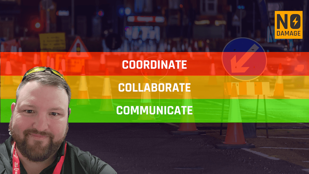
24. High degree of collaboration between all stakeholders including network operators,
consulting engineers, contractors and project owners.
25. A viable business model to maintain adequate funding for the program.
There's not much I can say after all that... apart from go read it yourself and let me know what you think!
RECENT POSTS
LATEST FROM NO DAMAGE
Share this Post